101010.pl is one of the many independent Mastodon servers you can use to participate in the fediverse.
101010.pl czyli najstarszy polski serwer Mastodon. Posiadamy wpisy do 2048 znaków.

Server stats:

508
active users

#qgis2web

0 posts0 participants0 posts today

figured out a few upgrades to my walks map: Changing colour on hover is an obvious one as I keep doing walks that overlap and are the same length, so there's no colour difference.

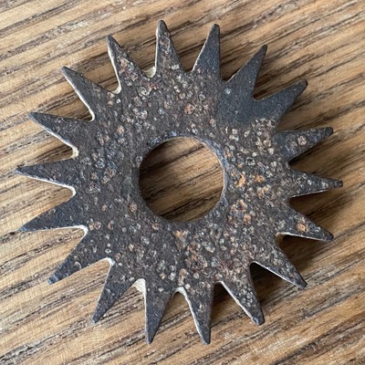
I also added an image field to the Named Stones layer, so now I can just correctly name a picture of the stone and drop it into the folder and it will pop up on the layer. Points without images show a broken icon though. I should probably set the image popup size too..

sarahdal.github.io/Walks/

Replied in thread

And until I get a #qgis2web workflow going with interactive slippy maps, here's a zoomed version towards downtown. It ranks new connections in the dense downtown higher, which makes sense. Shorter connections between the existing network tend to rank higher. What's sort of imperfect but expected is that sometimes one block ranks higher than the block next to it. It could use some "smoothing" to even out the ranks of coordinators. Next, I'll share more of the method to create this. #minneapolis🧵

I cannot tell you how happy I am that Andrea has just developed and released v 3.19.0 of #qgis2web, in which AT LAST layer groups are properly supported. This is the single biggest longstanding issue which affected the plugin, and it's a huge step forward. Thanks, Andrea!

github.com/qgis2web/qgis2web/r

GitHubRelease v3.19.0 · qgis2web/qgis2webqgis2web supports layer groups Exporting layer groups both OpenLayers and Leaflet exports achieve layer groups (non-nested) exportability solves issue #155 #175 #351 #485 #641 #678 #738 #754 #756 ...